Travel time matrices by car, public transit, bicycle and on foot, computed across the entire country. Answer accessibility questions without having to build your own routing engine.
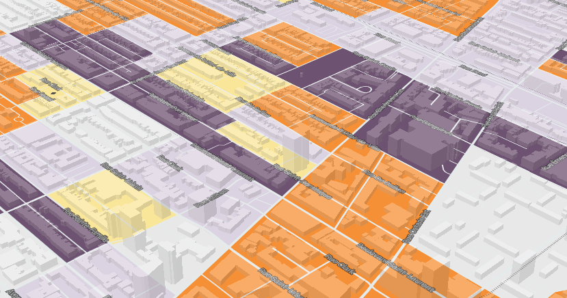
Residential municipal zoning bylaws harmonized under a common terminology. Rather than parsing hundreds of municipal bylaws each written in their own terms, ask a single question at the national scale (permitted residential capacity, allowable heights, mixed uses, etc.).
Every census since 1996 integrated into a single database, with automatic interpolation between the geographies that change from one cycle to the next. Browse the latest data or compare trends over nearly 30 years without having to manually reconstruct census tract boundaries, integration work that would normally take several hours per variable.
We regularly commission customdatasets from Statistics Canada (e.g. the annual T1FF file at the census tractlevel). As soon as an order is delivered, it becomes available to users acrossall our platforms.
Canada Mortgage and Housing Corporation time series integrated Canada-wide and harmonized through time. Compare different areas within your municipality and track residential construction, vacancy rates and average rents across several decades.
Indicators produced by Curbcut's research team and partner teams, integrated directly into the Curbcut platforms.